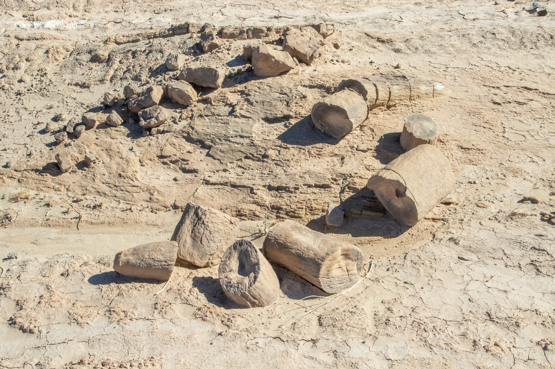
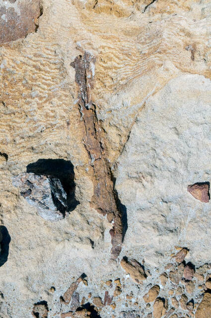
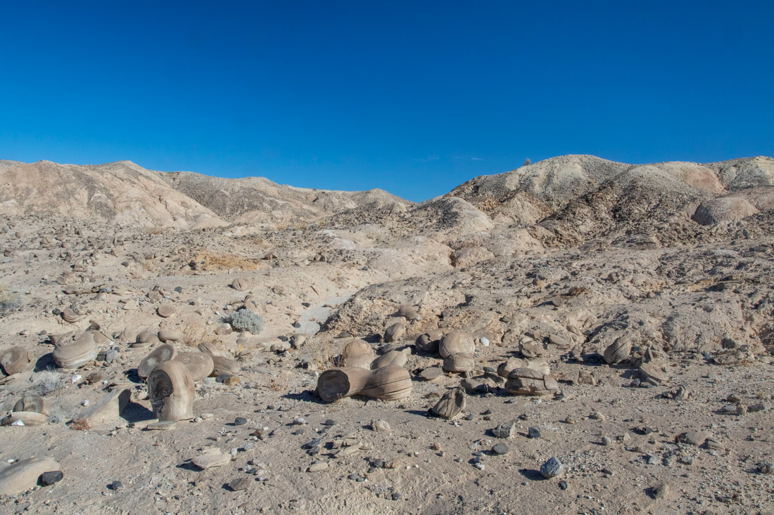
Though I saw plenty of Pieces of Petrified Wood in my wanderings of the area, these are actually concretions and only appear to be the other.
Ramblings in The Yuha Basin
Imperial County California
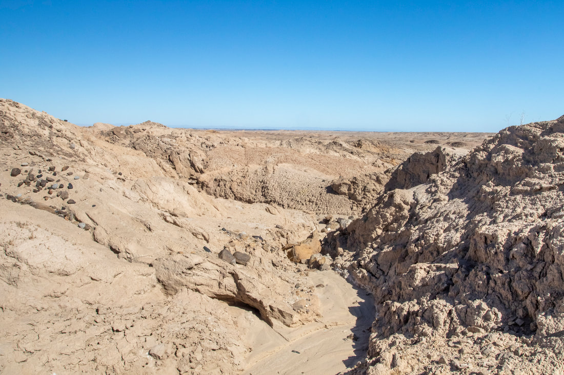
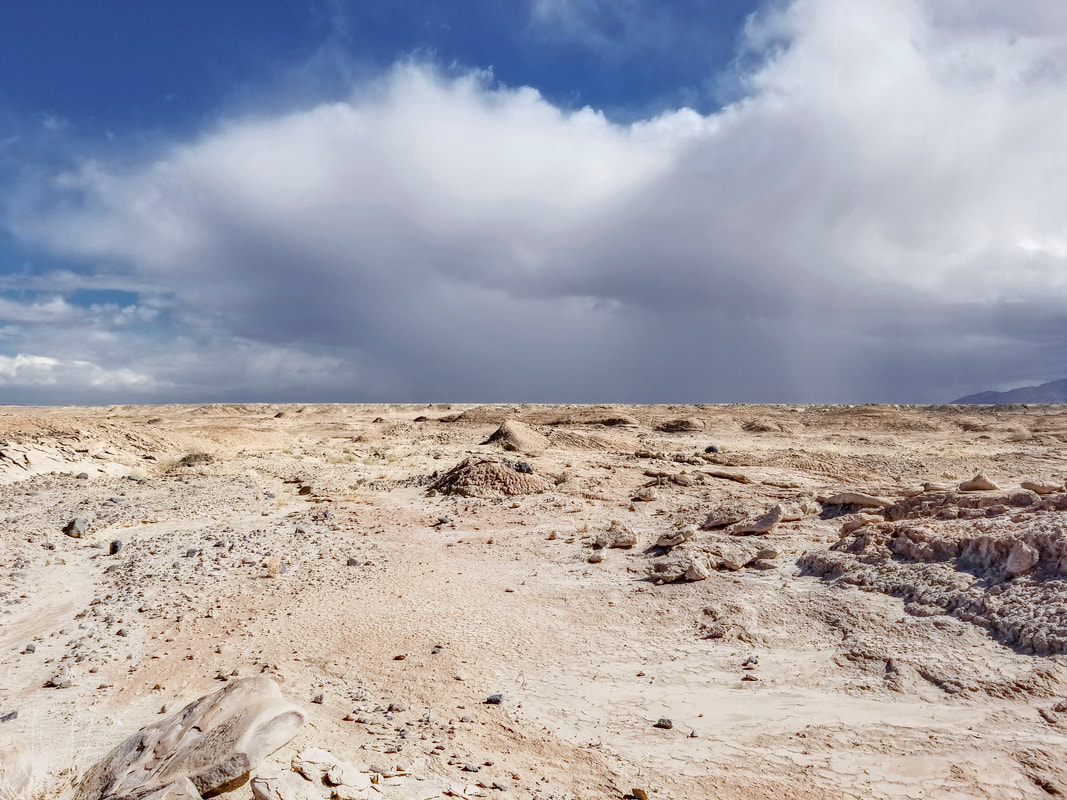
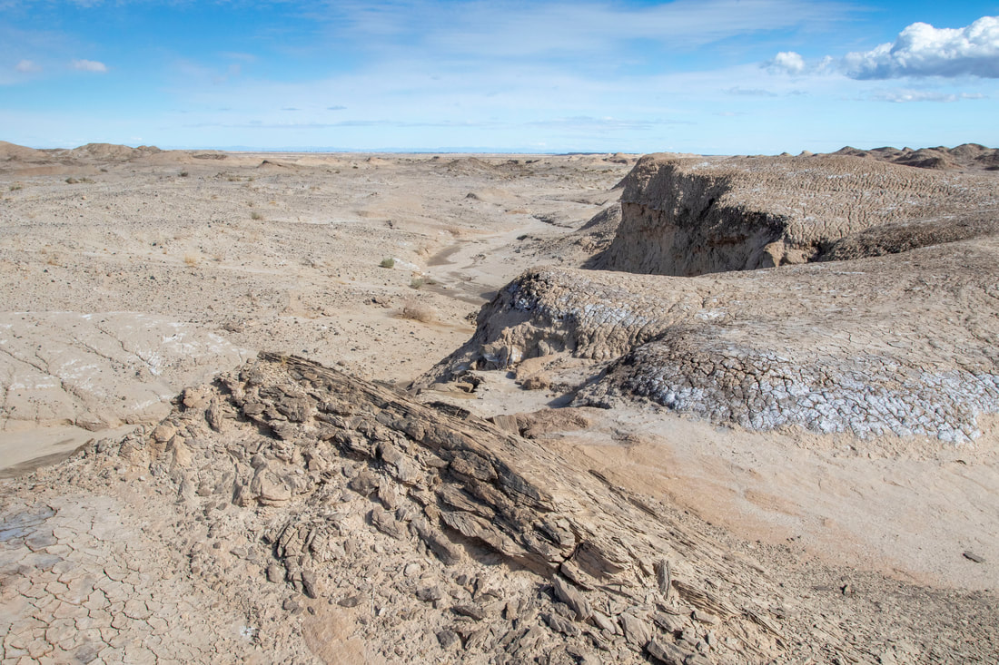
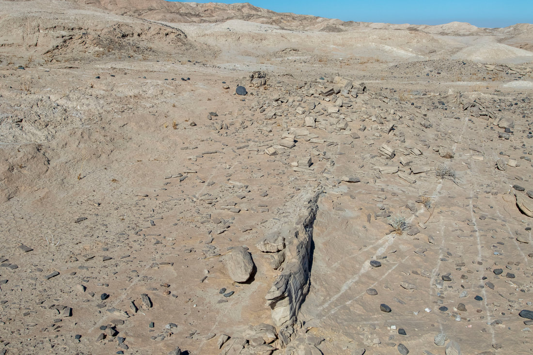
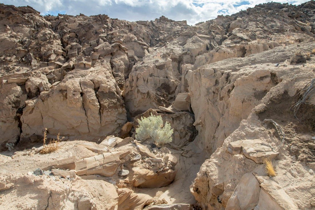
The Yuha Desert is an unusual place to wander and during the 2020-2021 Pandemic gives me the perfect place to hike and maintain Social Distancing measured not in feet but miles. Here there is evidence of Ancient waterways both Salt and fresh, Ancient Man in the form of Geolglyphs, as well as Interesting fossils and rock formations. The Yuha Oyster Beds lay near by luring in Rock collectors looking for Fossil Oysters as well as other rocks and formations such as Concretions. The De Anza Expedition 1775 also made their way through here and found water at nearby Yuha well. Many other adventures await here, but beware this is an unforgiving region for those not experienced for it. Bring plenty of water, wattch yout bearings.
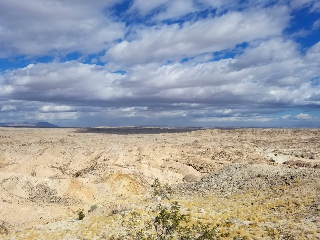
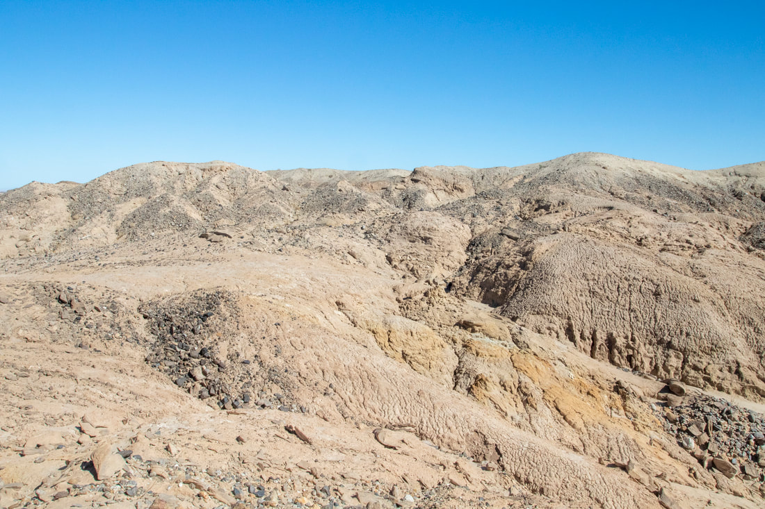
Overlooking The Yuha Basin
|
|
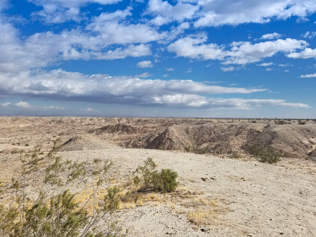
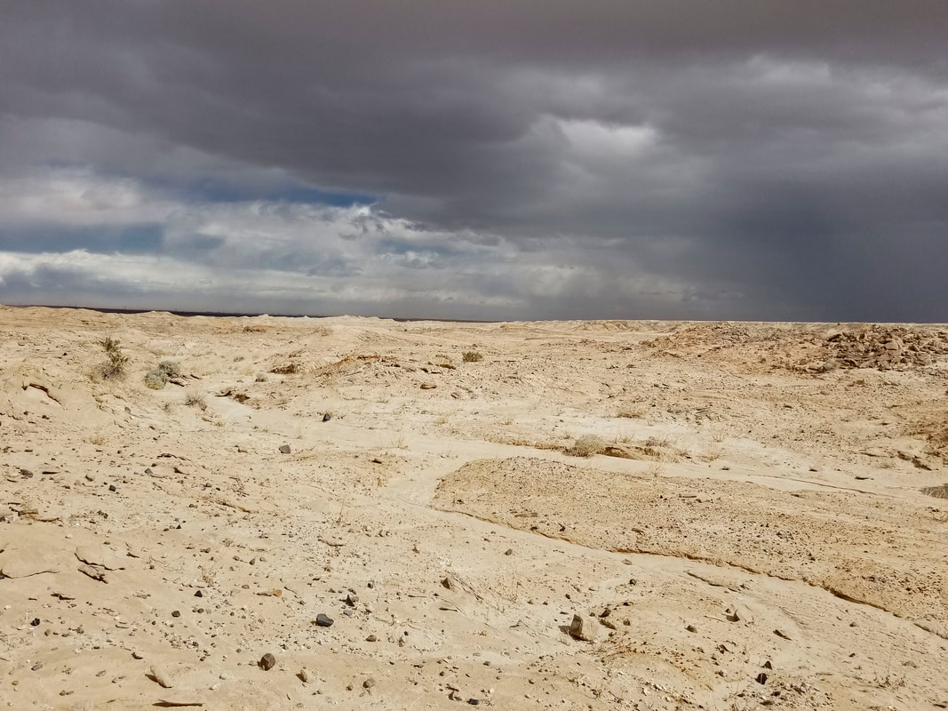
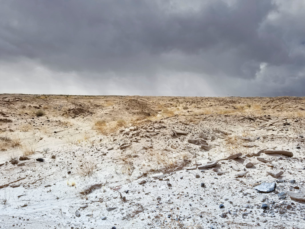
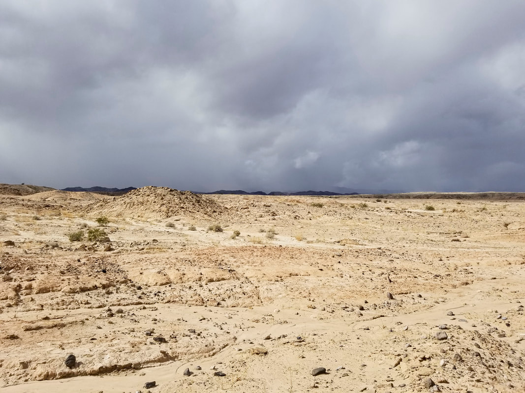
Rainfall Yuha
Morning Storms passing overhead February 12 2021, got a bit wet and saw what appears to have been a small funnel over a hill in the other valley. Storm passed but was very windy with some gust the rest of the day.
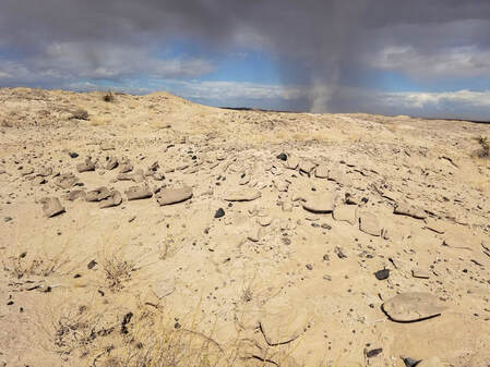
Possible small funnel next valley over.
|
|
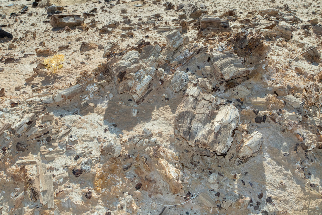
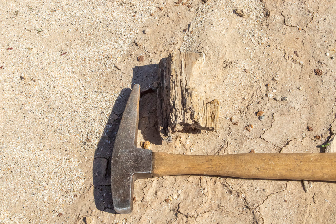
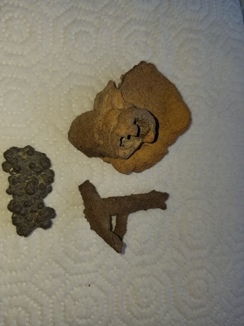
Petrified Wood
Disclaimer,for those whos see these photos and think that the area is littered with Petrified Wood I walk a lot of miles and into remote areas to observe these pieces over many hikes. The reality of it is it can be quite hard to locate and The Yuha area is vast.

|
|
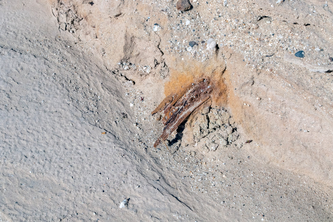
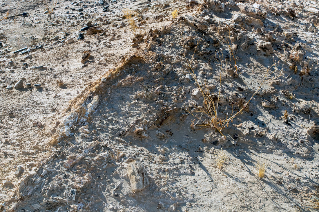
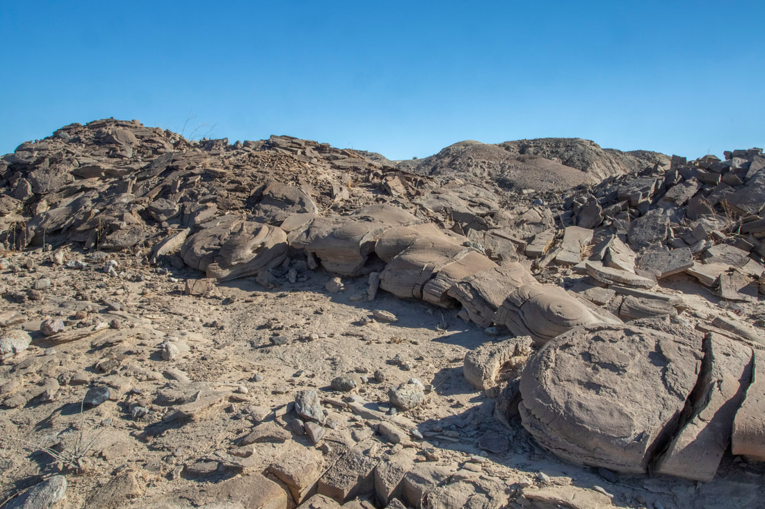
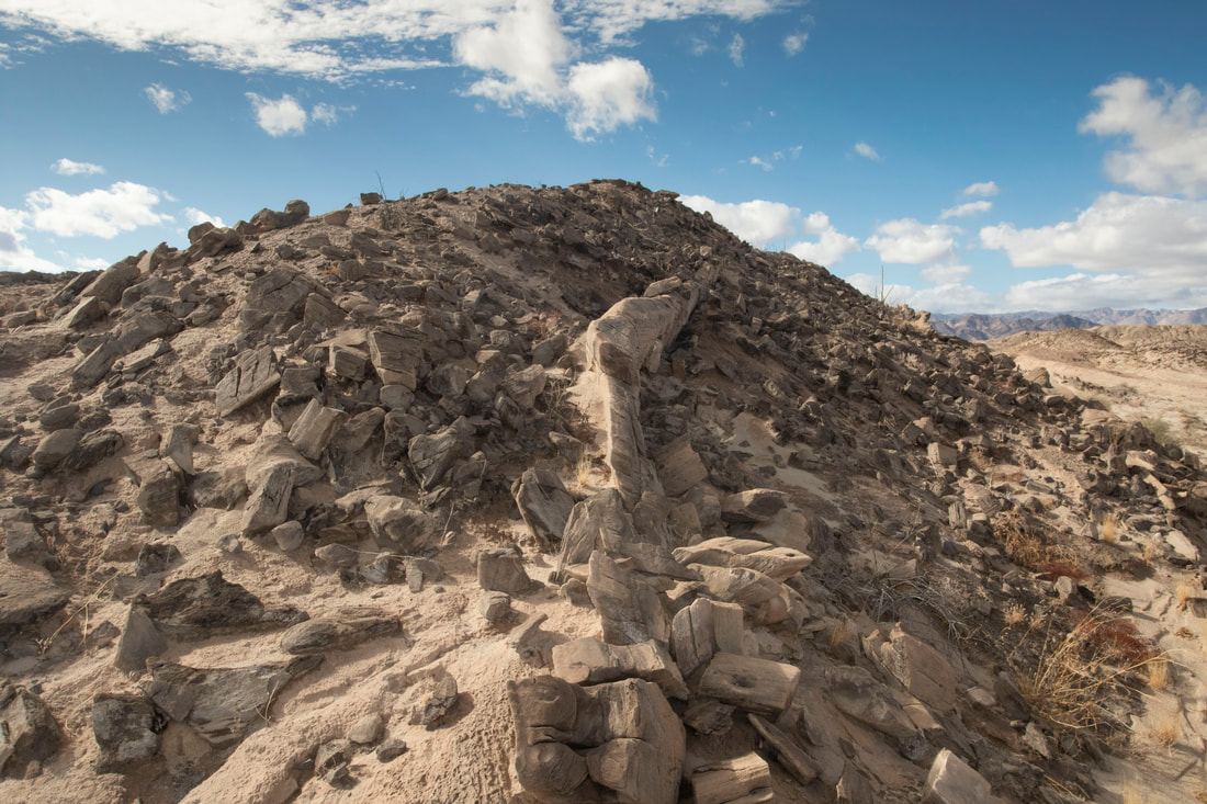
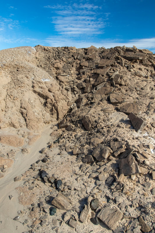
Traveling about I come across an Ancient Fossilized Tree Trunk, breaking apart into smaller pieces, it's outline still visible in the ground. These are reminders of the environment millions of years ago when different species roam the area.
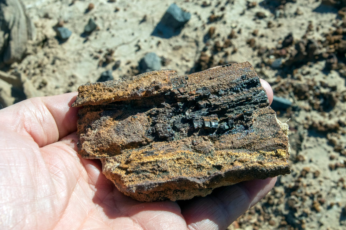
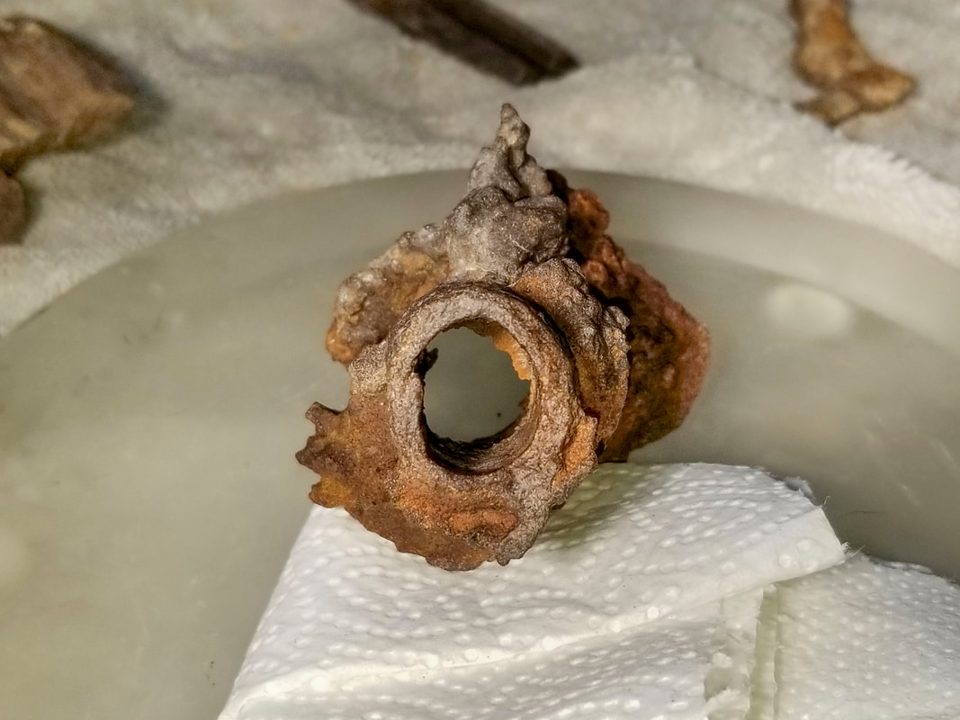
The next three photos look to be Iron Concretions but in this photo you can observe The remains of some wood within.
The area besides being a desert has also been a lake. I suspect that this may be fossilized submerged wood that has gone through a lot of deterioration

|
|
|
|
|
|
|
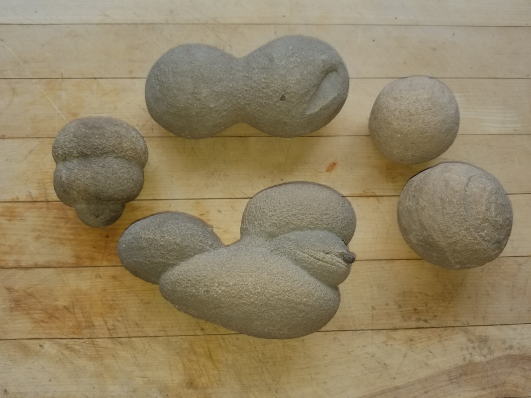
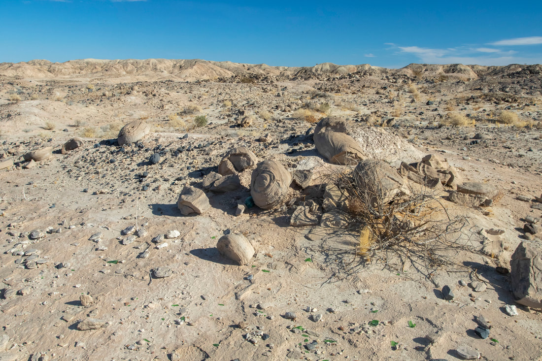
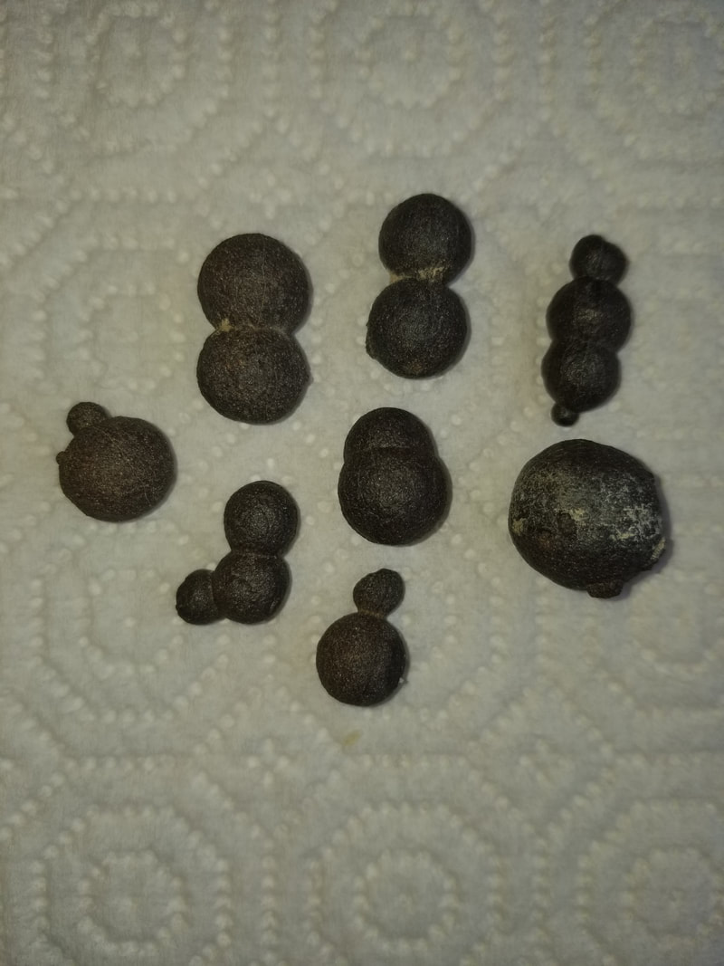
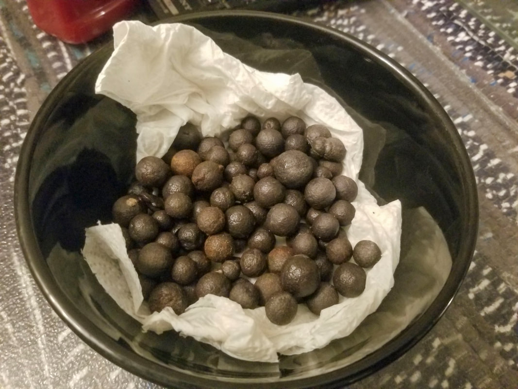
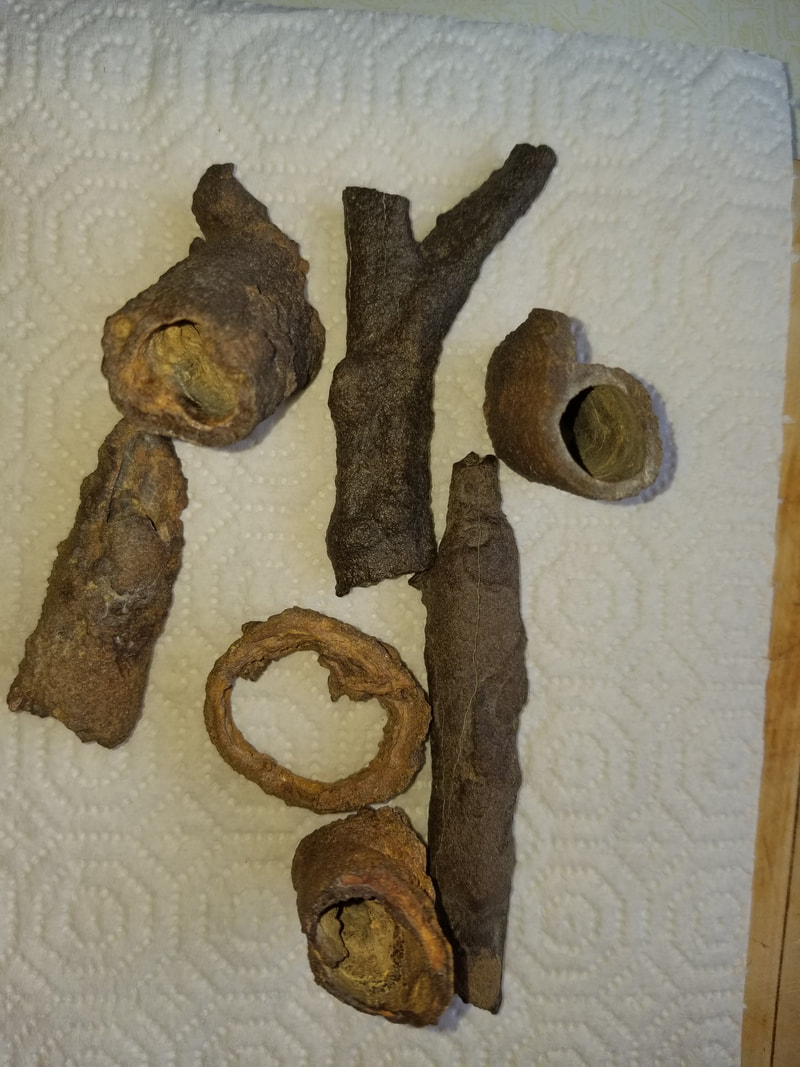
Collected Concretions
|
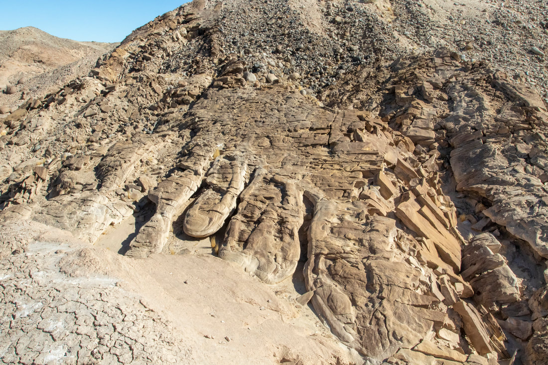
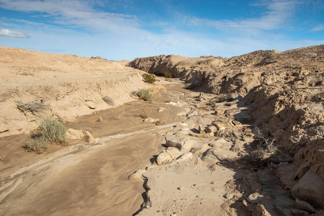
Mud Flow Stones, call this one The Toes
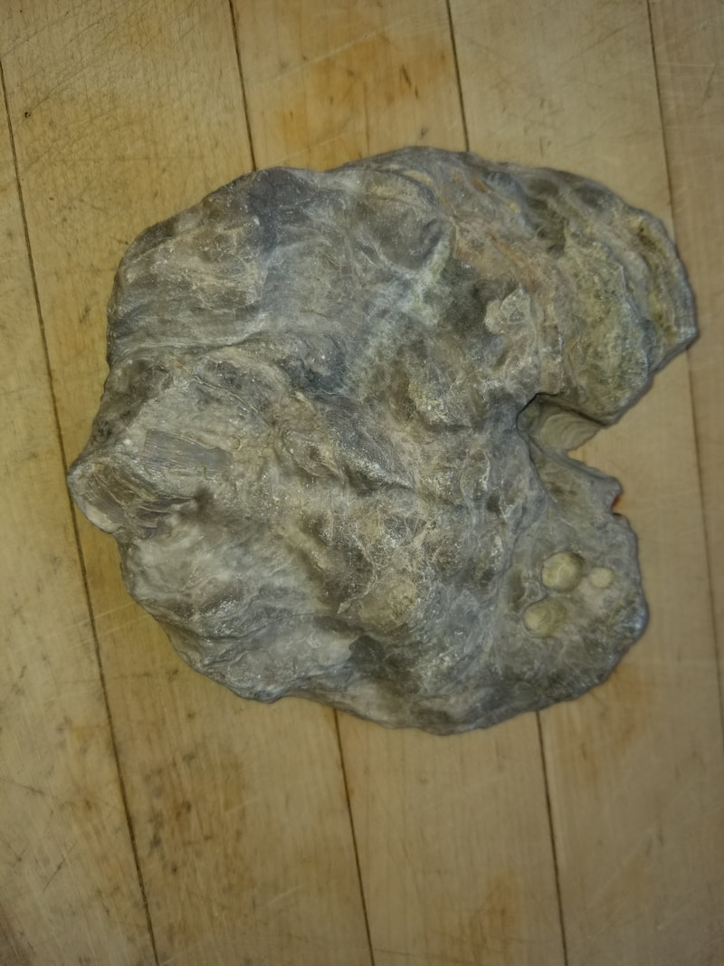
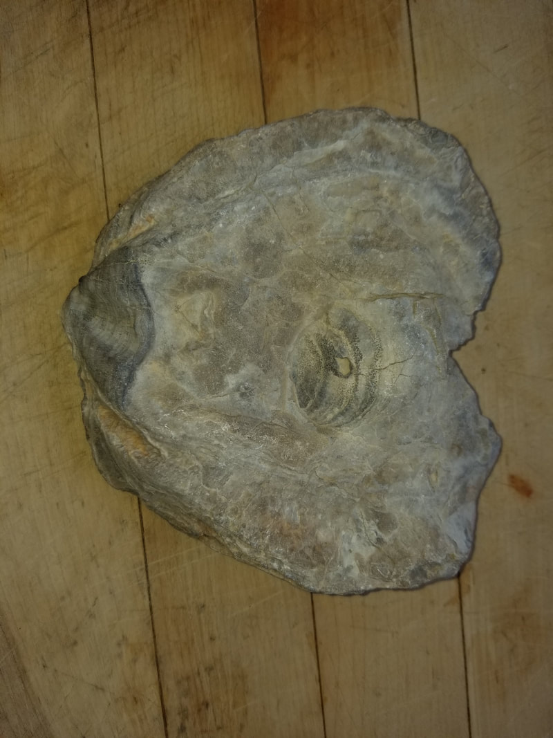
Fossil Oyster
|
|
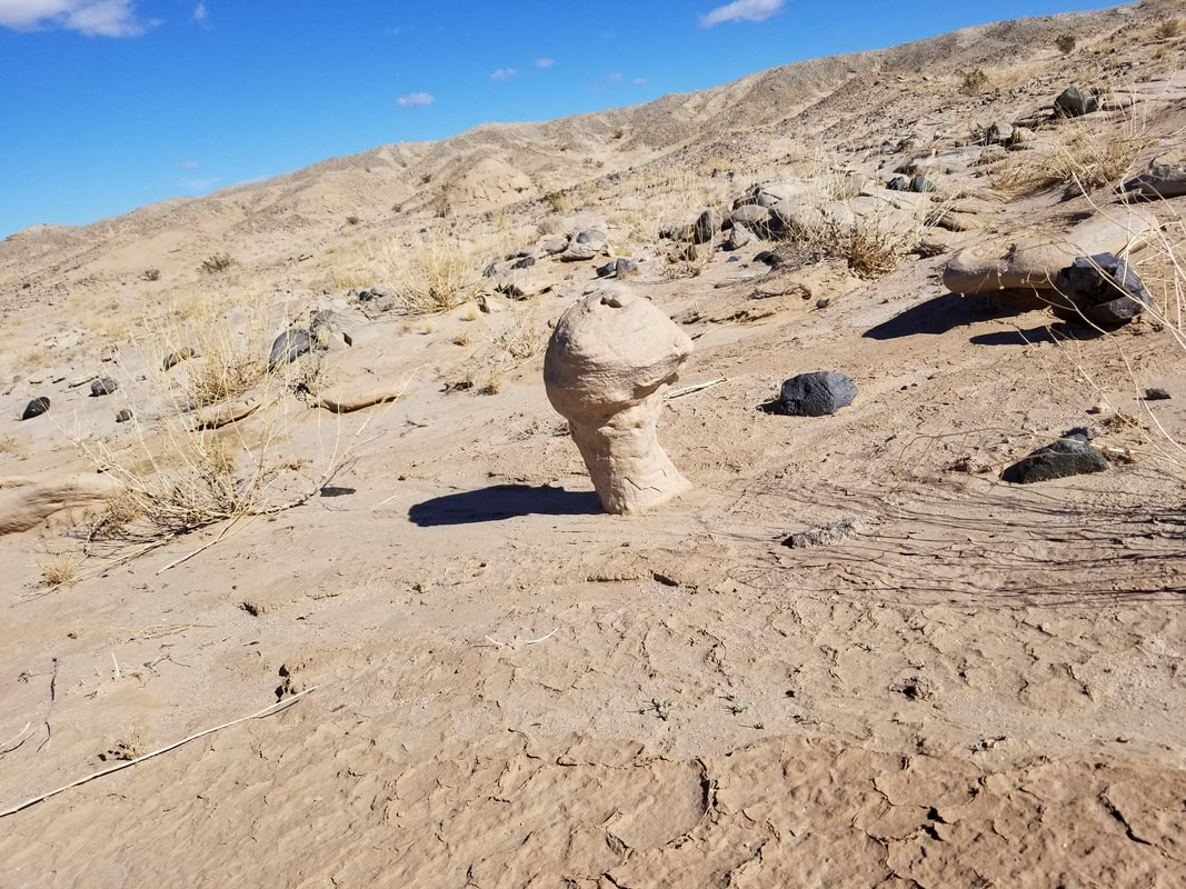
Moqui Marbles
This was located in a very small area and hard to find.
|
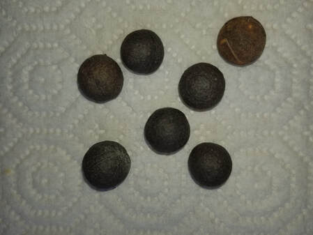
These Iron Oxide and Sandstone Balls are formed in Underground Water Precipitation and are slightly attracted to aa magnet.
Moqui is a Hopi were called The Moqui People by The early Spanish. Theses concretions are aso called many other names Hopi Marlble and Shaman Stone are just a few, or in the case of the Mars exploration Blueberries. Some stories say that spirits leave them behind t say they are happy. |
Iron Concretions and Fulgurite
These can be either or hard to tell them apart. Though a few are fulgurite that were fond in a hillside and passed down through multiple layers of earth
|
|
Fulgurite
Also Known as Petrified Lightning formed when Lightning hits the Earth